Start & end anywhere
Set your own starting point
Most maps assume you’re leaving from where you’re standing. AxisAtlas doesn’t. Set both ends of the trip to anywhere on earth.
- Search an address or place name with type-ahead results
- Tap the map to drop a pin — it’s reverse-geocoded instantly
- Use your current location, or swap start and destination in one click
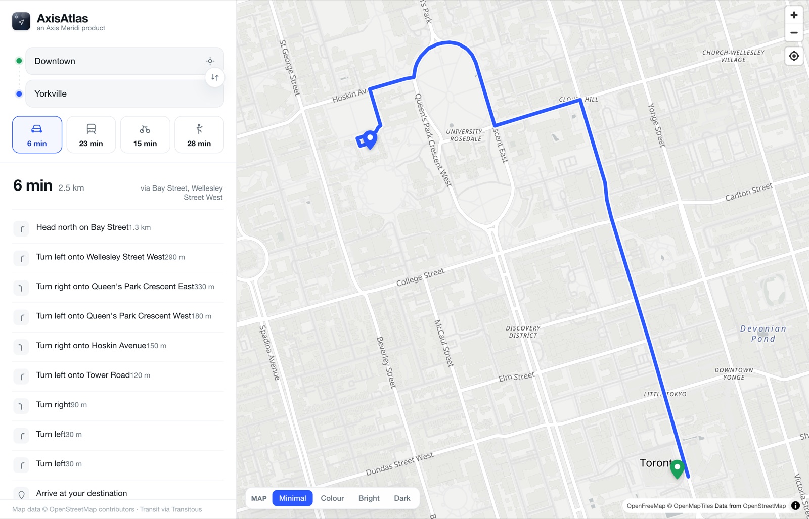
Four modes, one view
Compare every way to travel
The moment both points are set, AxisAtlas computes driving, transit, cycling and walking — and shows all four times together so the trade-off is obvious at a glance.
- Live road routing for cars, with real-world timing
- Cycling-aware and pedestrian routes, not just straight lines
- Switch modes to redraw the route and read the directions
Public transit
Real schedules, not guesses
Transit directions are built from live open schedule data — so you get departures that actually exist, with every leg of the trip spelled out.
- Departure and arrival times, with the number of transfers
- Line names and numbers in their real agency colours
- The walk to your first stop and from your last one
Make it yours
Four map styles, one tap
Switch the basemap to suit the moment or the light. Your choice is remembered the next time you open the map.
- Minimal — a clean, low-contrast canvas
- Colour & Bright — vivid, detail-rich maps
- Dark — easy on the eyes at night